Maps
b

b
Map of Lancashire, A Description of the Country from thirty to forty miles around Manchester, Aikin, 1795, p. 9.
a
a
a
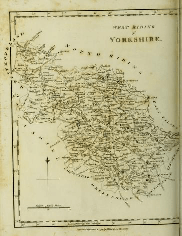
Map of West Riding of Yorkshire, A Description of the Country from thirty to forty miles around Manchester, Aikin, 1795, p. 89.
Map British Isles, Distribution of the Population, 1841

Map England and Wales, Distribution of the Population, Census 1851
Map England and Wales, Distribution of the Occupations of the People, Census 1851
a


Plan of Manchester, 1841, Pigot’s Commercial Directory of Manchester

Map of Manchester, Engels, 1844
a
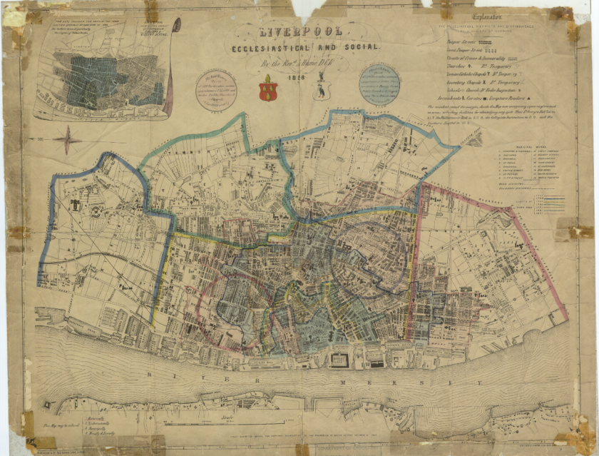
Abraham Hume, Rev., Map of Liverpool, Ecclesiastical and Social, 1858
The expanded version shows the streets with extreme poverty

Liverpool, 1859, part of Birkenhead, the docks, and Cheshire coast, John R. Isaac

Leeds, sanitary map, cholera epidemic, made in 1832 by Dr. Robert Baker; presented in “Report on the Sanitary Conditions of the Labouring Population”, Edwin Chadwick, 1842.
(the houses drawn in dark colour are those of the working classes; the square objects with smoke are the textile mills; the blue spots are localities of cholera cases in 1832; the red spots are localities with contagious diseases in 1834 to 1839; the “less cleansed” districts are painted over in dark brown)
a
a
a
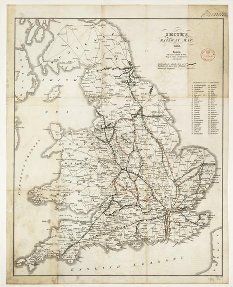
Smith’s Railway Map, 1836
Science Museum, London
aa
aa

| RELIEF | SOLID GEOLOGY | DRIFT GEOLOGY |
| ARABLE LAND | MARKET GARDENS | MEADOWS AND PASTURES |
| MARSHES AND MARSH PASTURES | WOODS | COMMONS |
| PADDOCKS AND PARKS | SETTLEMENTS | LAND USE REGIONS |
